Mt. Lincoln Page
As a part of Sara's "Graduation Weekend Celebration," Sara and Tyler Robison
planned a hike for the three of us in the White Mountains of Northern New Hampshire.
They originally planned for us to hike Mt. Washington, however, the weather prevented
us from being able to do that hike without crampons and ice axes. Instead they planned
for us to hike Mt. Lincoln, a 5,095 ft. peak, which is also in the White Mountains.
Sara, Tyler and myself, departed Concord on Friday morning, May 17, and arrived at the
trailhead of Mt. Lincoln at 0915. These are the photos I took on our wonderful trek.
At the bottom of this page is a link to Hank's and my climbing experiences.
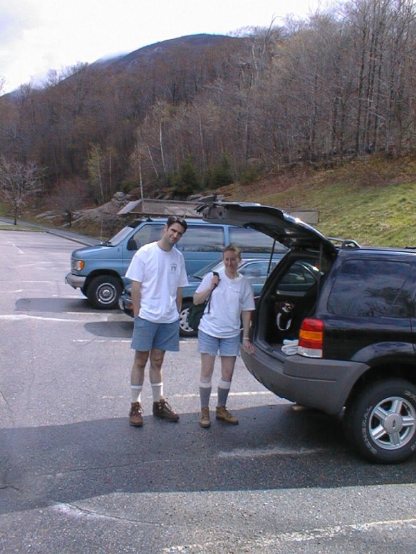
Sara and Tyler are gathering their gear to prepare for the trek to the trailhead.
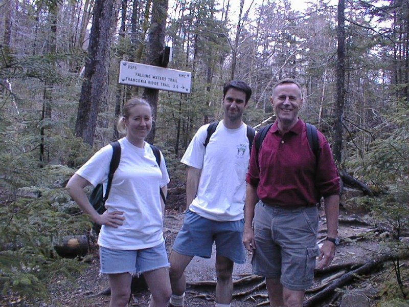
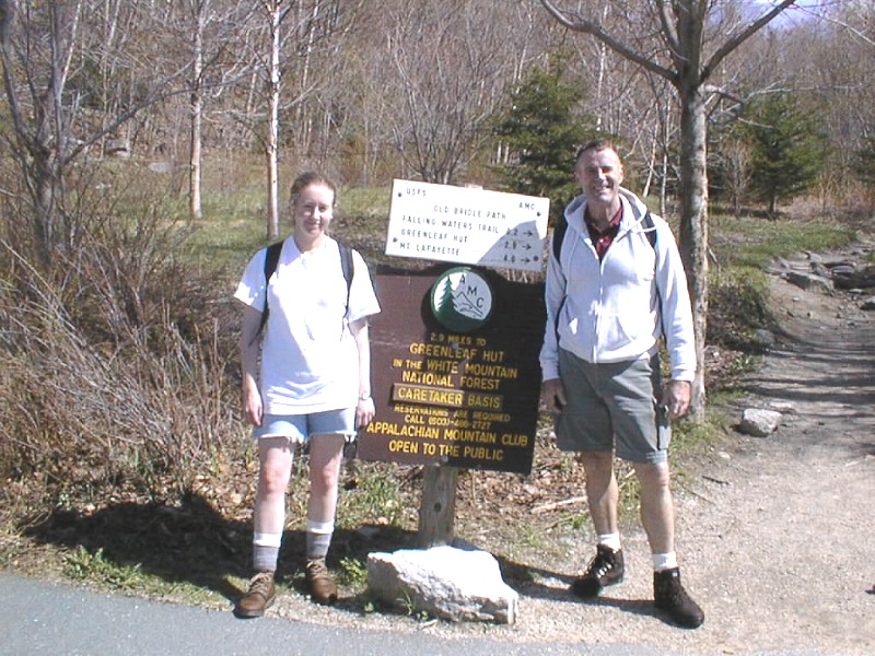
Here are the three of us at the trail head. We hiked the Falling Waters trail;
a 3˝ hour hike to the summit of Mt. Lincoln which is 5,095 ft. high.

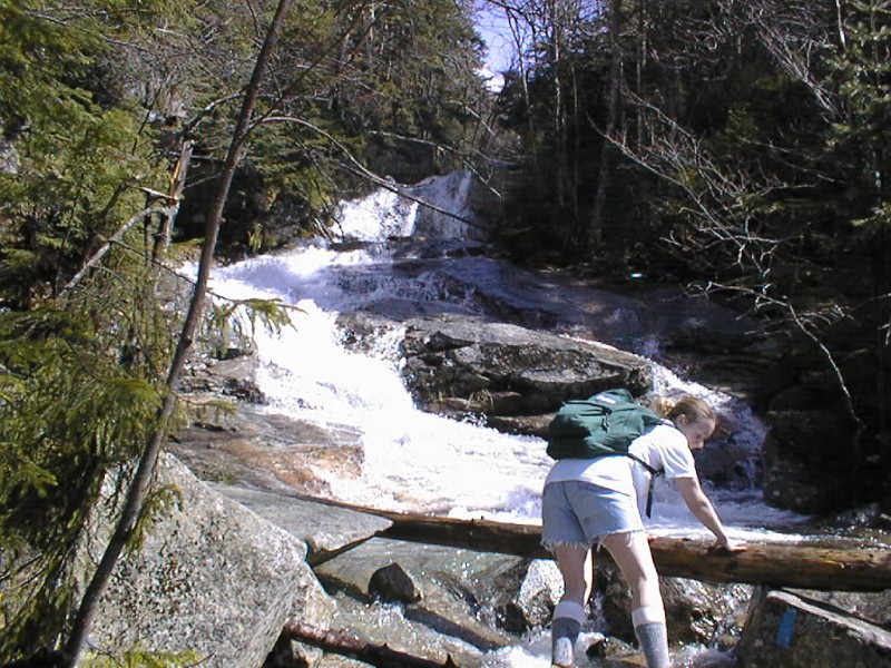
Sara stands next to one of five water crossings that we had to negotiate.

There were several beautiful waterfalls like this one along the route.
Sara is trying her best to keep her feet dry for the long hike ahead.
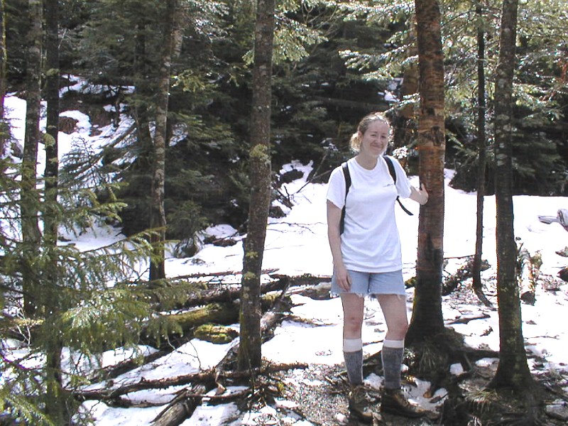
We encountered solid snow and ice at about 2,000 feet.
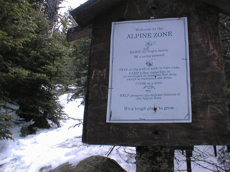
Once we got above 4,000 feet, we were in the Alpine zone where the trees have a hard time growing.
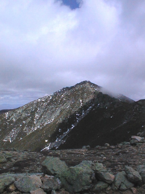
Here is the view of Mt. Lincoln after we got above timberline at about 4,500 feet.
That is a cloud on the right side of the mountain.
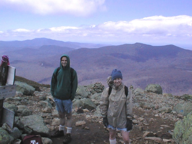
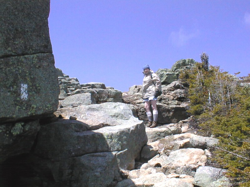
As you can see, we have changed our attire as the temperature is now about 10şF and the
wind is blowing at about 50 knots. We're still not at the summit of Lincoln.
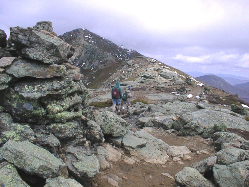
In the foreground is a "cairn." Cairns are just neatly stacked piles of rocks that are set up by
the Appalachian Mountain Club to mark the trails. Sara and Tyler are moving toward the summit
and, of course, I'm bringing up the rear. This part of the trail is actually the Appalachian Trail.
Sara is about 50 feet from the summit in this photo. The day is absolutely beautiful...just cold.
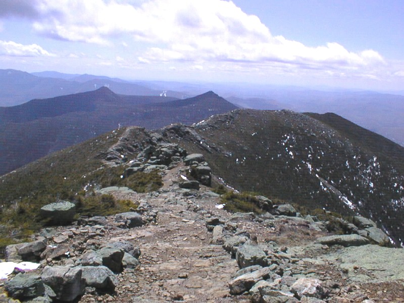
In this photo, I have turned 180ş and show the trail that we have just traveled. The "pointy" peak
in the middle of the photo is Mt. Liberty, 4,800 feet. Sara and Tyler have previously climbed it.
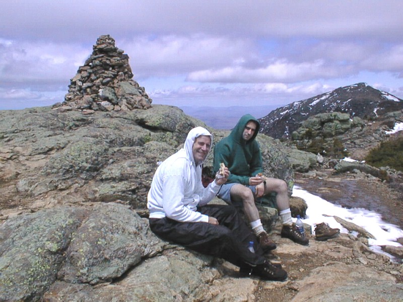
Peanut butter sandwiches at 200 feet taste like peanut butter sandwiches, but at 5,095 feet,
they taste like filet mignon. Tyler and I try to eat without shaking too much. It is about 10şF.
The cairn that you see behind us is the summit marker for Mt. Lincoln. We made it!
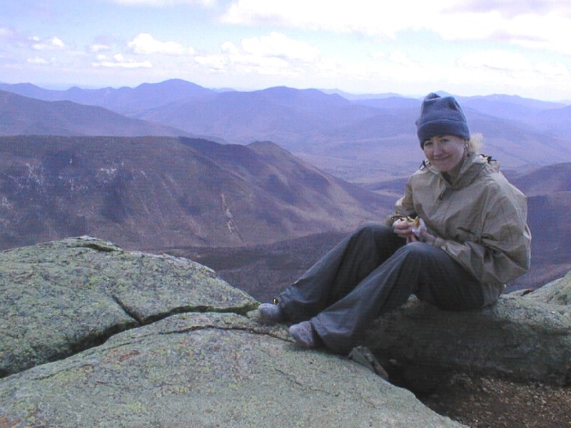
Sara munches on her PB&J while sitting in her wool sock feet, letting her boots dry out.
The wind is blowing between 50 and 60 knots.
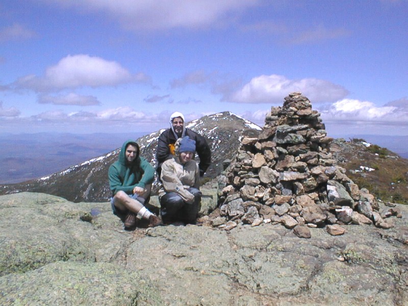
We got this great photo of the three of us next to the summit cairn. Mt. Lafayette is behind us.
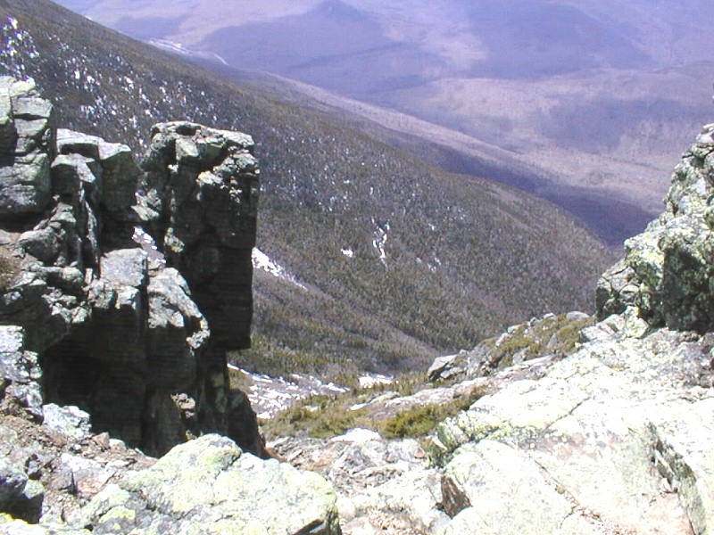
This is a view down one of the many "crags" that we crossed during the climb.
In the upper left of the photo, you can see the highway...and where we started.
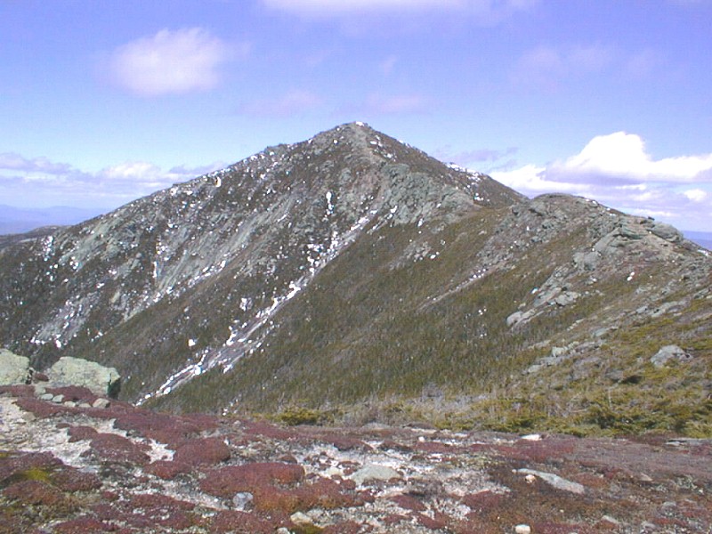
Here's a final view of Mt. Lincoln as we make our way back down and prepare to descend.
Yes, that is a little "agony" on my face with a lot of "satisfaction" from completing this climb.
We beat the scheduled time for the ascent by 30 minutes. The normal amount of time to climb Lincoln
on a clear summer day, is 3˝ hours. We climbed it in 3 hours with heavy ice and snow.
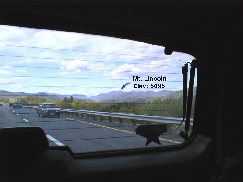
As we drove back to Concord (63 miles) I got one more pic of the mountain through the rear glass.
It was an awesome day...one I'll cherish for a long time.
Be sure and check out the photos of Sara's graduation on her page.
Return to Main Page
|